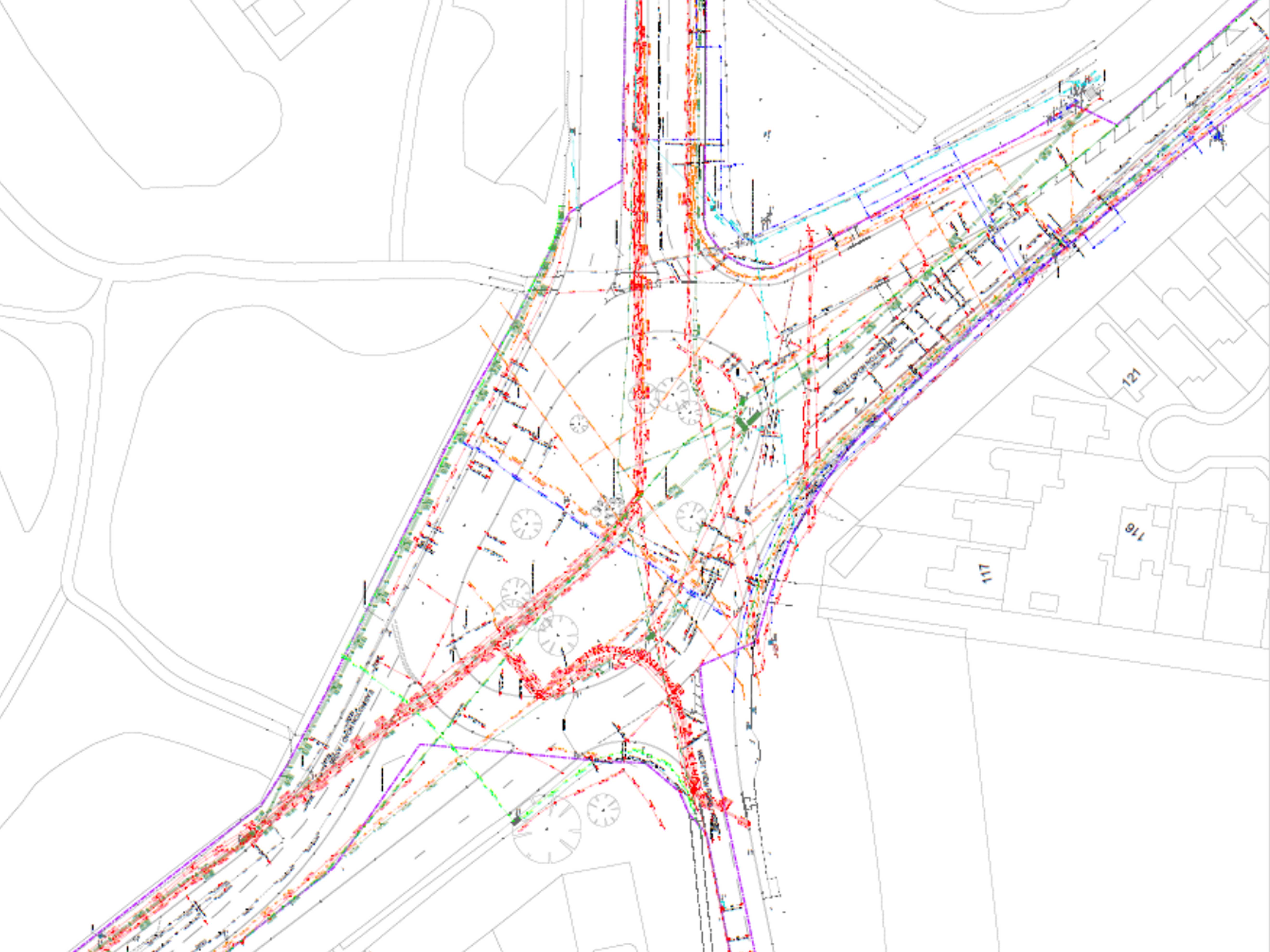
GPR surveys
Vista Civil Engineering provides GPR surveys (Ground Penetrating Radar) to identify underground utilities and subsurface features prior to excavation or construction.
Understanding what lies beneath the surface is critical to avoiding service strikes, delays and costly design changes. Vista uses GPR technology to provide clear, reliable data that supports safer and more efficient project delivery.
Detecting Underground Services
GPR surveys are used to locate and map:
• Buried utilities (gas, water, electric and telecoms)
• Unknown obstructions and redundant services
• Voids and subsurface anomalies
• Ground conditions affecting construction
This allows risks to be identified early and mitigated before works begin.
Reducing Risk Before Construction
By carrying out GPR surveys, Vista helps clients to:
• Improve site safety during excavation
• Reduce the risk of service strikes
• Improve design accuracy and planning
• Avoid delays and unexpected costs
This approach ensures projects are better informed from the outset.
Why Choose Vista Civil Engineering for GPR Surveys?
Vista provides dependable GPR survey services that support safe and efficient construction.
Accurate underground utility detection
Reduced project risk and uncertainty
Supports design, planning and construction phases
Integrated with wider site investigation and infrastructure works
Project Examples
Get in touch
Vista Civil Engineering delivers high-quality, adoptable roads and drainage infrastructure for residential, commercial, and social housing projects. Contact us today to discuss your new-build scheme and request a quotation.